2.1 Master Site Map
Overview
The Lake Bennett Estate Master Site Map provides a comprehensive view of the entire estate, including all lots, infrastructure, and natural features. This document serves as the primary reference for understanding the estate's layout and development.
Survey Plan (Whole Area)
Cadastral Survey Plan S2004/153 — the registered plan of subdivision for the Lake Bennett area under the Lake Bennett (Land Title) Act 2005. Source extract from NT ILIS (viewed 28 October 2026).
| Item | Detail |
|---|---|
| Plan | Survey Plan S2004/153 |
| Coverage | Whole subdivision / estate area (cadastral) |
| Source | NT ILIS survey plan extract |
| Retrieved | 2026-10-28 |
| survey-plan-S2004-153-ilis-2026-10-28.pdf |
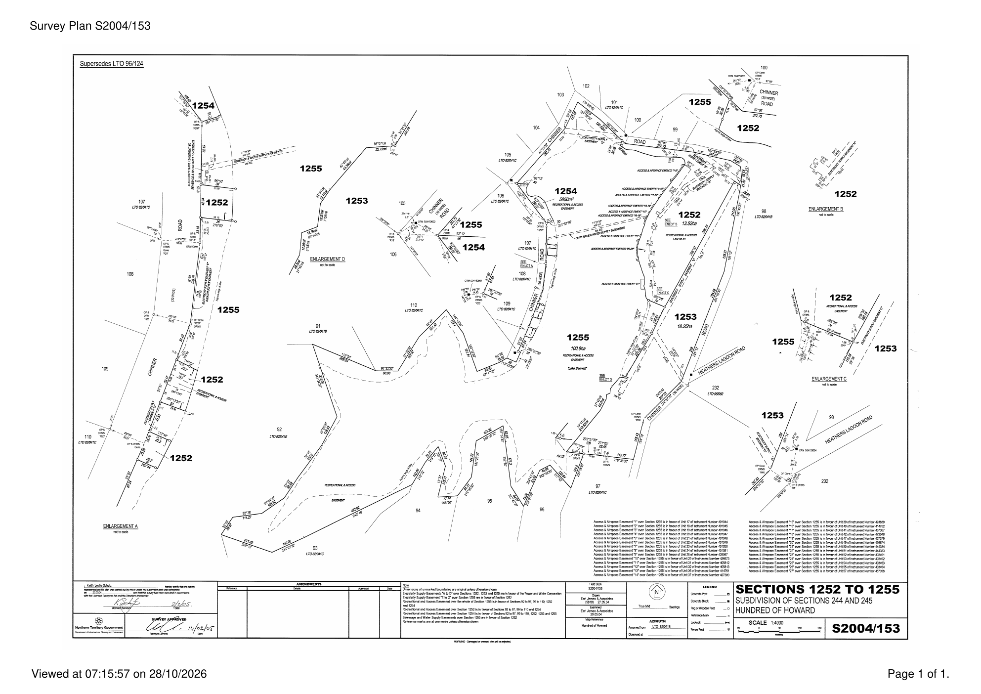
Full Resolution
Open the PDF for the printable A3 survey sheet. Lot addressing practice is summarised in 2.2 Lot Numbering; easements in 2.4 Easements.
Interactive Map
Use the map below to view satellite imagery with toggleable overlays loaded
Version Control
| Version | Date | Description |
|---|---|---|
| 1.0 | 2025-10-06 | Initial Release |
| 1.1 | 2026-10-28 | Added Survey Plan S2004/153 (ILIS whole-area cadastral extract) |
Next Review Date: 2027-04-28